Flash Maps
Advertisement
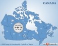
Canada Flash map with FLA source v.1.0
Canada Flash map (with FLA source) for web sites, interactive applications, presentations, and more. With this fully-clickable map you will be able to improve navigation and provide visitors with better and quicker access to information as well as
Advertisement
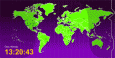
Time Zones Map in Flash
Flash Time Zone Map is " A ready-to-use and customer-friendly flash world time map with no HTML or Flash knowledge required Flash Time Zone Map has " 20+ high quality images for the timezones map background " Included source code
IMapBuilder Interactive Flash Map v.6 25
iMapBuilder is an all-in-one software that creates interactive Flash map.
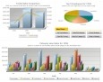
FusionCharts
FusionCharts v3 helps you create animated and interactive Flash charts for web and desktop applications. It livens up your applications by converting monotonous data into exciting visuals. FusionCharts can be integrated with a myriad of web technologies

FusionCharts Free
FusionCharts Free is a flash charting component that can be used to render data-driven & animated charts for your web applications and presentations. It is a cross-browser and cross-platform solution that can be used with ASP.NET, ASP, PHP, JSP,
Area Selector
Area Selector is the interactive flash map for any size real estate websites. It can be used for such websites as company listings, product listings, dating agencies' websites you name it. Regardless of the website you have, you will definitely
GeoclipSolo v.2.5.0.33
Géoclip Solo includes a building tool which is described above. It also includes a base map conversion tool (see picture opposite). The geographic layers which are assembled to build a géoclip are in the swf format.
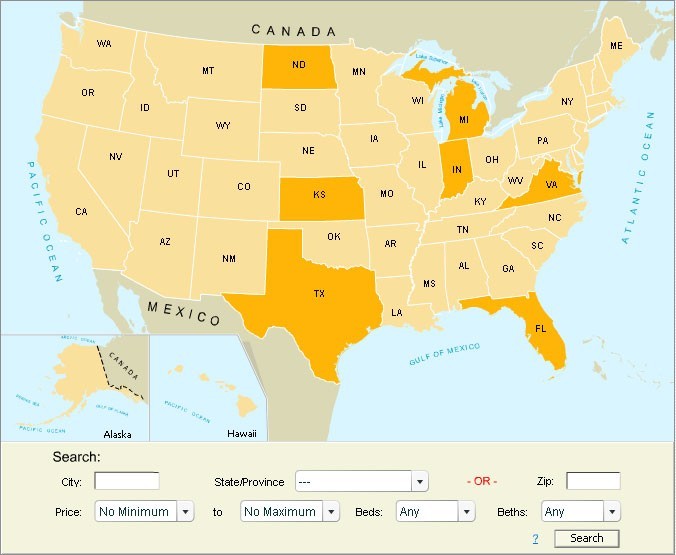
USA Real Estate Map Pro v.2.0
USA Real Estate Map Pro is a premium class software for mapping: real estate properties, contact listings, offices and other geo spatial data.
AnyChart Map Converter v.1.0.3261.26913
Visualize geolocation data in ESRI ShapeFiles format. AnyChart Map Converter utility is designed to convert ESRI ShapeFiles (*.shp) into the special AMAP format for using in the geo map module of AnyChart Flash Component - AnyMap.
Major USA cities and highways
USA Cities and Highways Map is a rather simple version of professional software with several background images and a nice monitor glass projection. With our user-friendly USA Cities and Highways Map it is possible to: " add/remove
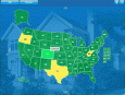
USA Real Estate Map
USA Real Estate (RE) Map dynamic solution to: - show RE data as a bright map instead of long lists - show info in any sphere other than RE as long as it is shown on state/county level - show info by changing state colors, show tooltips and